
Scaling St. Louis Geospatial.
A digital-first infrastructure built for the NGA-ready workforce. Bridge the gap between education and high-impact careers.
Regional Leadership
The Hub of Geospatial Excellence.
The UMSL Geospatial Collaborative serves as the regional nexus for geospatial talent. We provide the digital infrastructure needed to scale workforce development from classrooms to the NGA.
Mission Aligned
Synchronized with NGA and TGI workforce initiatives.
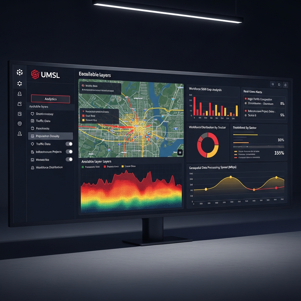
Cloud Infrastructure
Enterprise-grade learning environment accessible anywhere.
Unified Learning Pathways
Scaling education at the speed of regional industry innovation through a three-pillared strategy.
Credentials
Stackable micro-credentials from GIS foundations to advanced spatial analysis.
- • Industry Certificates
- • K-12 Dual Enrollment
- • Career Transition
Delivery
A hybrid approach combining UMSL’s expert faculty with high-performance cloud tools.
- • Real-time Virtual Labs
- • On-Campus Intensives
- • Async Modules
Network
Integrated libraries from Wiley and partnerships with NGA leaders.
- • Research Database
- • Corp Mentorship
- • Gov Placements
The Infrastructure
UMSL Quality. Scalable Platform.
Deploying a branded, enterprise-grade geospatial academy has never been faster. Powered by Sejal Learn, designed for UMSL excellence.
Pilot Launch Strategy
Sync
Defining regional outcomes & objectives.
Build
Content mapping & white-labeling.
Deploy
Infrastructure setup & SSO integration.
Launch
2026 First Cohort Intake.